Home   Glossary
Dun da Ghaoithe
Quick Facts
This is the summed total of all the climbing within a route and is a good indicator of the strenuousness of a route.
Total Ascent
3316 ft

An estimate of the time taken based on a derivation of Naismiths rules. Our calculation is based on the horizontal and ascent components of a climb, we do not make a reduction for descent.

Registered users can customise these walking times by specifying their own walking and ascending speeds. They can also add a fixed time period for stoppages.

Route Time
5.5 hrs
The horizontal distance of the route.
Route Distance
10.3 ml
 

The UK is covered by 204 Ordnance Survey Landranger 1:50,000 scale maps. Maps numbered 1 to 86 cover Scotland but for the highest mountains (Munros) only 23 maps are required. The name given roughly describes the area covered by the map.

You can click on the map name to purchase the map for £6.29 including postage which is one of the cheapest prices we have found.


OS Landranger Maps Required
  49   Oban & East Mull
Only £6.29  (£13.49 Laminated) from  

A brief summary of this route.

Our summary will always contain one of easy, moderate or hard to indicate the severity of the route.

 Notes
A longish but easy ridge walk with good ascent track. This hill makes an excellent day out by ferry from Oban, no car required, and their is even a pleasant bar in Graignure to pass any excess time.

Here we provide the nearest town to the start of the route where you will find basic services.

We then give directions from that location to the route start. Your approach route may differ.

 Travel Information

Head to: Craignure, Mull

Walk S on A849 2.5km to junction with minor road to the Bird of Prey Centre.

Route Waypoint Map

The total ascent is 3,316 feet. Allow 5.5 hours to complete this 10.3 mile route.

In winter months please check the local snow conditions at sais.gov.uk.

The hillphones service can inform you of stalking activities in the area.

Usually the shortest way to climb the mountain, making best use of tracks and paths to gain altitude. Route navigation requires map reading skills and an ability to navigate with a compass.

The information given here will enable you to annotate your map and plan your route. We do not give anecdotal descriptions on where to find the paths, worn by the feet of previous mountaineers.

Where the access routes are few or the ridge is narrow, paths are generally obvious. On open ground, following paths without using your compass may get you lost in poor visibility.

 Route Information
Waypoint Detail
  Start from A849 at junction with minor road to Bird of Prey centre
  NM72663499 Distance
Altitude
111 ft
1
Ascend W on track to masts on Maol nan Uan
NM70323587 Distance
2.1 miles
Altitude
1368 ft
2
Follow track WSW to its termination at second mast
NM69193513 Distance
1.0 miles
Altitude
1788 ft
3
Continue W around corrie rim to Mainnir nam Fiadh (754m)
NM67653535 Distance
1.0 miles
Altitude
2473 ft
4
Descend NW to col then ascend NNW to Dun da Ghaoithe
NM67243620 Distance
0.6 miles
Altitude
2513 ft
5
Descend NNW on ridge towards Coire Clachach
NM67083671 Distance
0.3 miles
Altitude
2214 ft
6
Continue descent NNE on Beinn Chreagach ridge
NM67733778 Distance
0.8 miles
Altitude
1345 ft
7
Descend ENE to Scallastle
NM69913814 Distance
1.5 miles
Altitude
39 ft
8
Continue NE on path to join the main road
NM70253844 Distance
0.3 miles
Altitude
16 ft
9
Head SE along the A849 to Craignure
NM72273661 Distance
1.7 miles
Altitude
104 ft
10
Bear SSE on road to return to start
  NM72663499 Distance
1.0 miles
Altitude
111 ft

A selection of weather forecasts local to this route.

 Weather
West Highlands
by MWIS (PDF format)
West Highlands
by Met Office
Ben More
by Metcheck
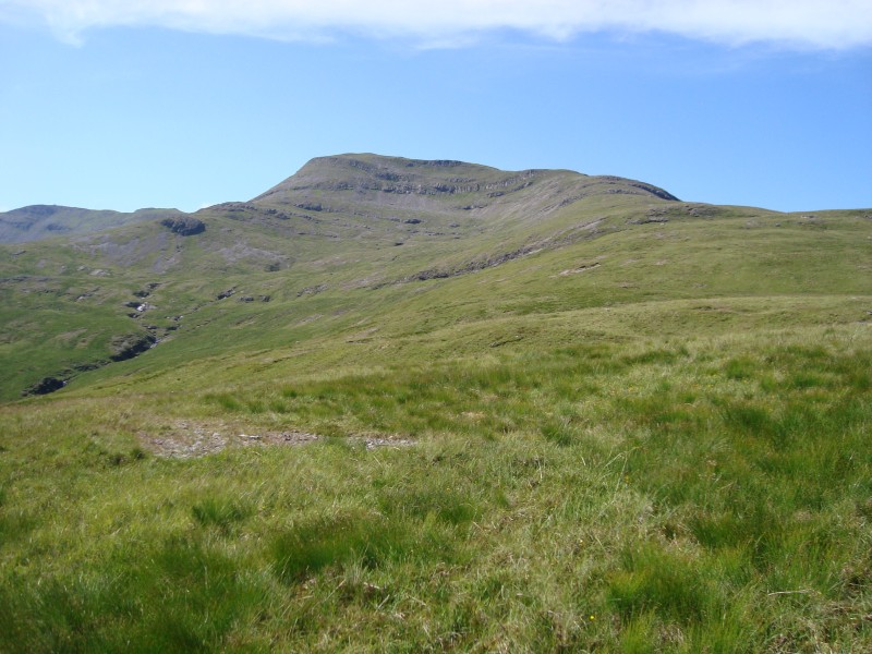
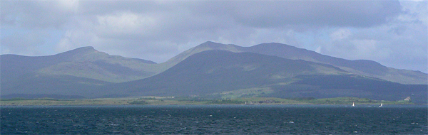
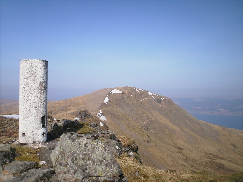
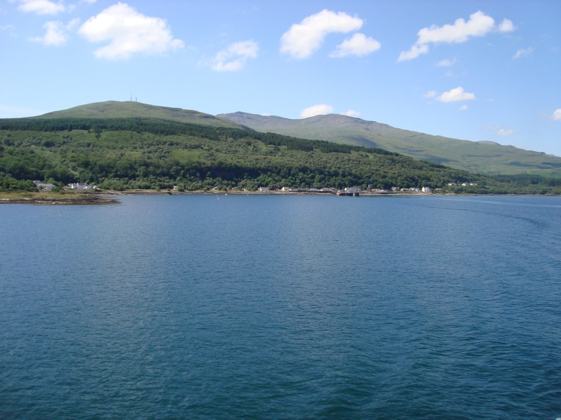
Images of Dun da Ghaoithe
Route Area Map
Legend  Munro  Corbett  Graham  English/Welsh Top  Accommodation

A selection of local accommodation options who advertise with Munromagic.com.

 Where to Stay
We currently have no
sponsored accommodation listings for this area.

Rating & Reviews

 Rating & Reviews
Rated: Not yet rated.
Click Stars to Vote
Your Rating
Written by John Gilchrist on 25 Oct 2008:
Can't understand why this hasn't been reviewed before before! Excellent hill, with quite outstanding views. If you're coming over to do Ben More, thoroughly recommend you take an extra day and include this fine Corbett.
 
Disclaimer. The details provided above are an aid to planning an expedition, but all distances, altitudes and bearings must be considered approximate. You must navigate with the appropriate map, a compass, your navigation skills and common sense, MunroMagic.com accept no responsibility for your interpretation of our route information.
Privacy Policy Cookie Policy Contact Us