|
|
 |
|

This is the height of the mountain above sea level. However, on the climb, it is the ascent that matters, i.e. the sum of all the uphill parts of the route.
| Altitude |
|
926 m (3038 ft)
|
This is the standard notation used on Ordnance Survey Landranger maps.
Each reference consists of two letters identifying a 100,000 metre square block then three digits defining the Easting and finally the three digits defining the Northing with reference to the South West corner of the block.
NN166712 is the grid reference for the summit of Ben Nevis. Where you are given the map number ( For Ben Nevis = 41) it is acceptable to omit the two initial letters e.g. 166712. (Instructions on how to read the references are given on the OS maps).
| Grid Ref. |
|
NN27170663
|
|
|
|
An indication of this mountains height rank within its class. Where two mountains share the same height they are ordered alphabetically.
| Stature |
|
259 of 282 Munros |
|
The number of ascent routes currently available on Munromagic.
| Routes |
|
1
|
|
|
|
Mountain names are usually in Gaelic, the native language of the Scottish Highlands, or have been derived from the old Scots and Norse languages. We give the most commonly accepted meaning, but accept that some of these are disputed.
| Meaning |
|
Hill of the notches |
|
| |
The UK is covered by 204 Ordnance Survey Landranger 1:50,000 scale maps. Maps numbered 1 to 86 cover Scotland but for the highest mountains (Munros) only 23 maps are required. The name given roughly describes the area covered by the map.
|
OS Landranger Maps Required |
|
|
| 56 |
Loch Lomond & Inveraray |
|
|
|
|
|
|
Beinn Narnain, which sits above Arrochar at the head of Loch Long, is a rocky topped hill. It has three ridges, a short broad ridge WNW to Bealach a' Mhaim connecting to Beinn Ime and Ben Arthur, a long knobbly ridge NE to A'Chrois (848m), which is not a usual ascent route, and a craggy SE ridge. The direct ascent route from Succoth leads to the SE ridge and this route takes you over and through rocky outcrops (not really scrambling) to the flat stony summit.
|

|
Hazards you may encounter on Beinn Narnain include
|
| Stony/rocky Slopes on or near ascent routes. |
|
| Crags on or near ascent routes. |
|
| Crags near summit. |
|
|
| |
|
General Considerations
|
| Temperature decreases by 1degree C for every 100m of ascent. |
|
| Wind usually increases with altitude. |
|
| Visibility can change markedly with cloud level. |
|
| River/Stream levels can increase markedly in one day. |
|
|
|
 |
|
|
|
|
|
|
|
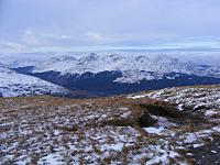
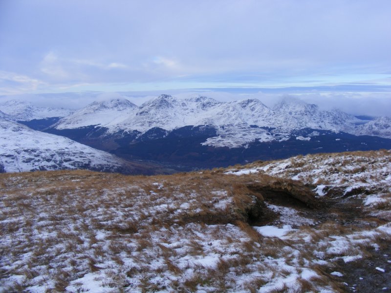
A great view of Ben Narnain and the range of the Arrochar Alps from Ben Lomond, Jan 2010. From left, the peaks are Ben Donich (far left), The Cobbler (summit in cloud), Ben Narnain, Beinn Ime, A' Chrois and Ben Vane (summit in cloud).
© Michael Hill
|
|
Image by Michael Hill
|
|
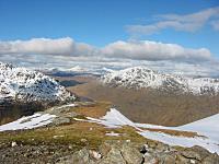
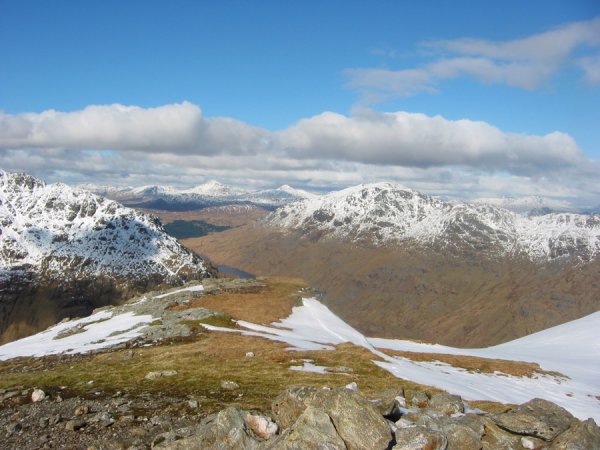
Views across to Ben Vane and Ben Vorlich from A' Chrois, Narnains north top. Amazing weather. (2008-03-16)
© Kevin Woods
|
|
Image by Kevin Woods
|
|
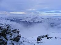
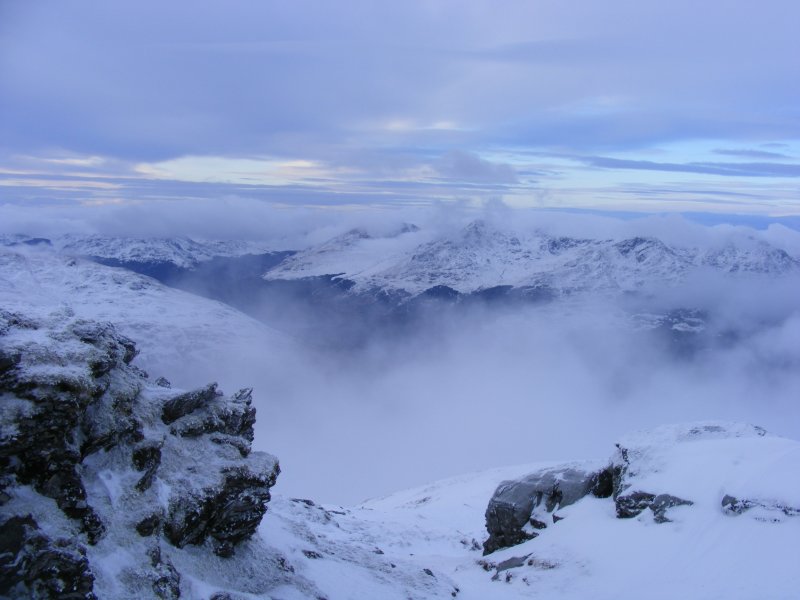
Ben Narnain, the central peak seen here, viewed from near the summit of Ben Lomond on 4 January 2010.
© Michael Hill
|
|
Image by Michael Hill
|
|
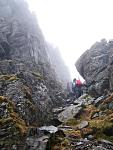
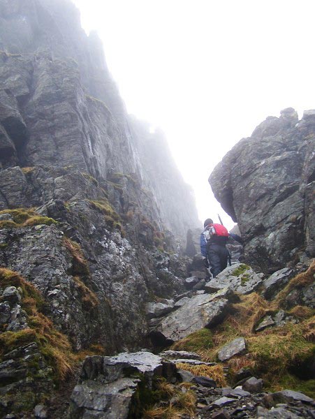
Good scrambling around spearhead
© Samantha Munro
|
|
Image by Samantha Munro
|
|
|
|
|
|
|
|
|
|
|
|
|
|
|
|
|
|
Ascent
|
Distance
|
Time
|
Including...
|
Description
|
Rating
|
|
|
1
|
1550 m
|
12.92 km
|
5.5 hrs
|
Beinn Ime and Beinn Narnain
|
A strenuous climb, from sea level, on relatively steep slopes but no scrambling required.
|

|
|
|
|
|
| |
|
|
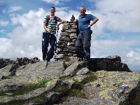
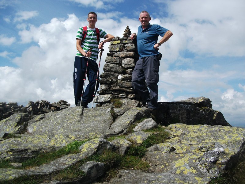
Joseph Teven and myself at the summit of Beinn Narnain 27/07/2013
© David Peden
|
|
Image by David Peden
|
|
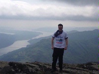
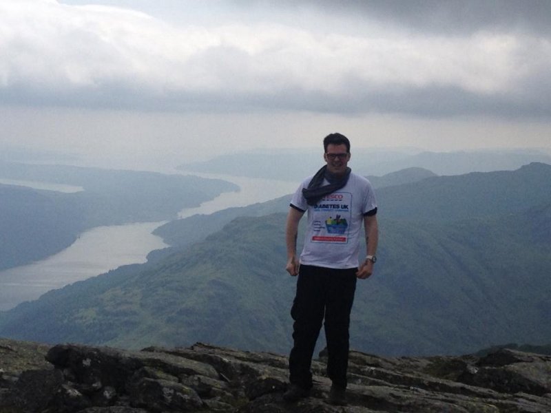
At the top of Narnain!
© Stuart Phillips
|
|
Image by Stuart Phillips
|
|

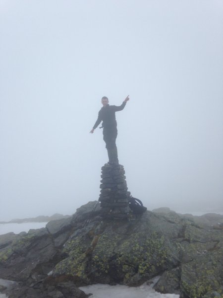
summit of beinn narnain on a cold and misty day
© Michael Mcmillan
|
|
Image by Michael Mcmillan
|
|
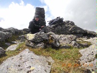
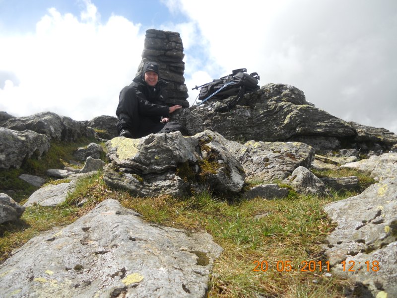
me at the top of Beinn Narnain
20/05/2011
© Alexander McMillan
|
|
Image by Alexander McMillan
|
|
|
|
|
|
|
|
|
|
|
|
 |
| |
| Showing the most recent 5 of 23 comments. Would you like to view all 23? |
|
|
Stephen Kelly
wrote on
April 23, 2011
|
Family and friends climbed this in sensational weather. This is a really good hill with interesting and varied terrain. There are no difficulties and the final accent in amongst the craggs is really enjoyable. Our 12 year old loved it!
|
|
|
|
Kenny Wallace
wrote on
October 7, 2010
|
Climbed via the front route which takes you past the Spearhead. The Spearhead is quite awesome looking when you approach it through the cloud. Decended by the route that takes you to the bealach joining Beinn Ime to Beinn Narnain and then headed back to the car park via main path past the Cobbler. A great walk even though it rained all the way through it. Can't wait to do this one again during nicer weather.
|
|
|
|
Steven Greig
wrote on
June 30, 2010
|
We Bagged this one on Monday 29th of June , we went round the back and were looking to go on to Ime but the cloud was too dense at the top that we mucked up our directions and followed the path that takes you back down the front to the car park , this was very scary especially the rocky gully but was exciting and after coming through the gully of death we were met by a sea king rescue helicopter doing training , we sat and watched and then made our way down to beautiful views of Loch Long and Ben Lomond , Disappointed we didn't get to do what we wanted but great day out for Danny and Kylie Munro ...
|
|
|
|
Richard Langley
wrote on
March 6, 2010
|
Beware if parked in Loch Long car park, it is prone to flooding if there is a higher than normal high tide I would recommend using the higher parking spaces, and not near the beach. My car was written off here after it burst it banks ruined a really good day!
|
|
|
|
James Corrigan
wrote on
January 11, 2010
|
After originally planning to do the Cobbler, we turned right at the dam and followed the boggy path to the approach of Ben Narnain.
The path could be the remnants of the old Iron Ore mining activities on these hills!
It was a good walk with some mild scrambling in places with great views of Loch Long and the other Arochar Alps.Ben Vorlich and neibouring hills in Lochearn area were clearly visible.
The wind was the problem at the summit.Very strong indeed.
The Cobbler was there so on we went to that.Still the best hill in the area despite its Corbett status!
|
|
|
| |
|
|
|
|
|

|
|
|
|
|
|
|
|